
0
Owner's of the Garmin GPS Receiver Garmin GPS Receiver gave it a score of 0 out of 5. Here's how the scores stacked up:
nüvi 2405/2505 Series Owner’s Manual 25
NOTE: cityXplorer maps are not included
with the device. See http://my.garmin.com to
purchase cityXplorer maps.
NOTE: You can change the types of public
transit and limit the distance spent walking
during a pedestrian route (page 53).
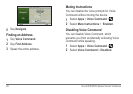
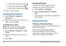
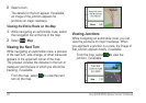
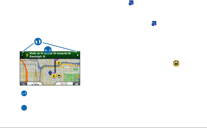
Using the Pedestrian Navigation Map
➋
➊
• Select ➊ to switch between sections of the
route.
• Select
➋ to view the route itinerary.
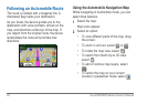
About Map Icons
• When you are navigating in Pedestrian
mode,
indicates your approximate
position and your direction of travel on the
map.
• The circle around
indicates the accuracy
of your position on the map. A smaller
circle means the displayed position is more
accurate.
• The yellow icons indicate the navigation
method used in each section of the route.
For example, when you see
, board a bus
at that point in the route.
• The black dots on the map are public transit
stops along your route.
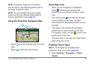
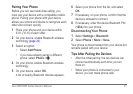
Enabling Transit Types
NOTE: Transit types are available when
cityXplorer maps are loaded (page 25).
1
Select Settings > Navigation > Public
Transit.


Find Your Products By Category
Please Login
